2-meter precision temperature data. Real-time & forecasted intelligence insights via dashboards & APIs—115x more accurate than weather models. Replace costly advisory with scalable intelligence.
One City, Two Heat Problems: Inside the Greater Tripoli Thermal Assessment
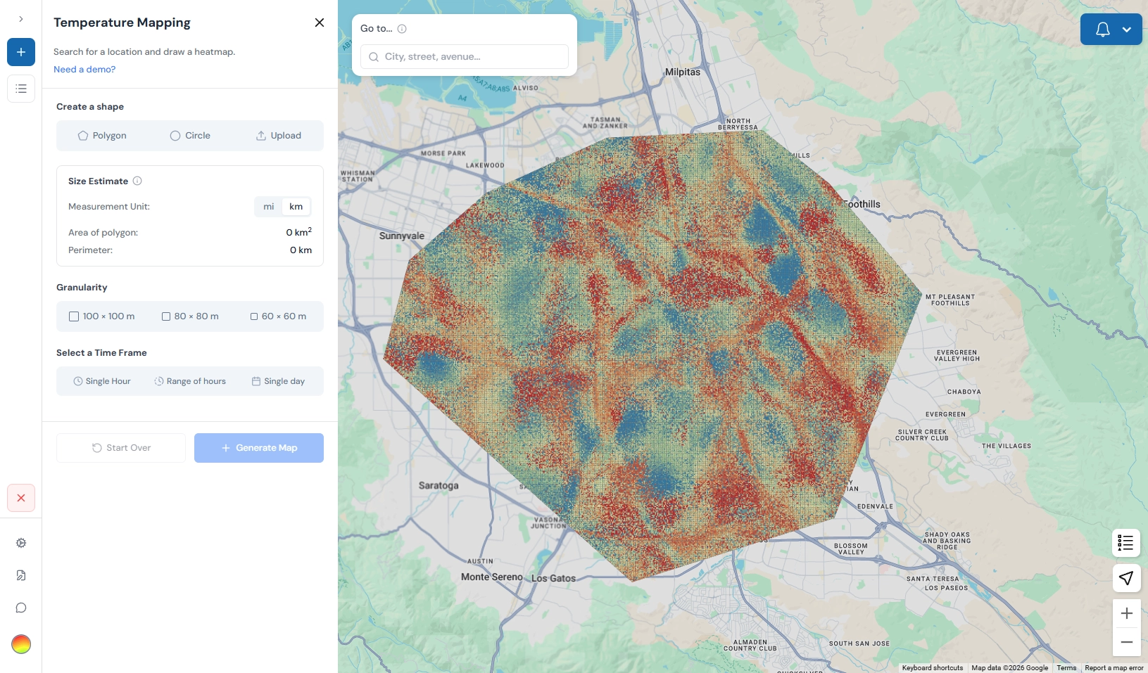
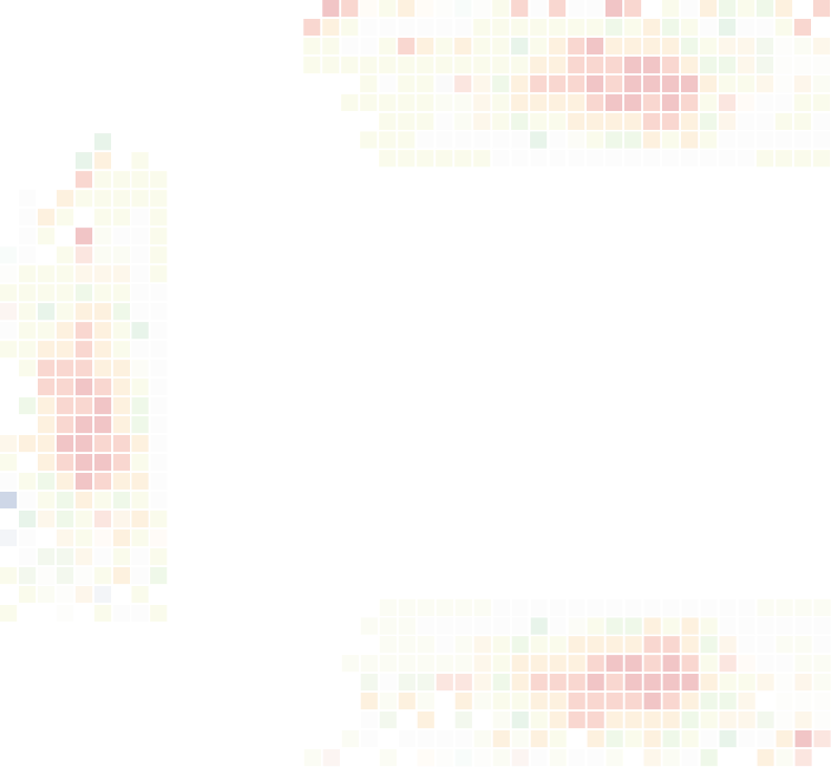
FortyGuard's Greater Tripoli thermal assessment mapped the city's heat pattern using 14.2 million ERA5 climate readings and 98 Landsat thermal scenes — and revealed the city has two distinct heat problems, not one, in completely different geographies. It's the case study behind the framework we now apply to any city with satellite coverage.
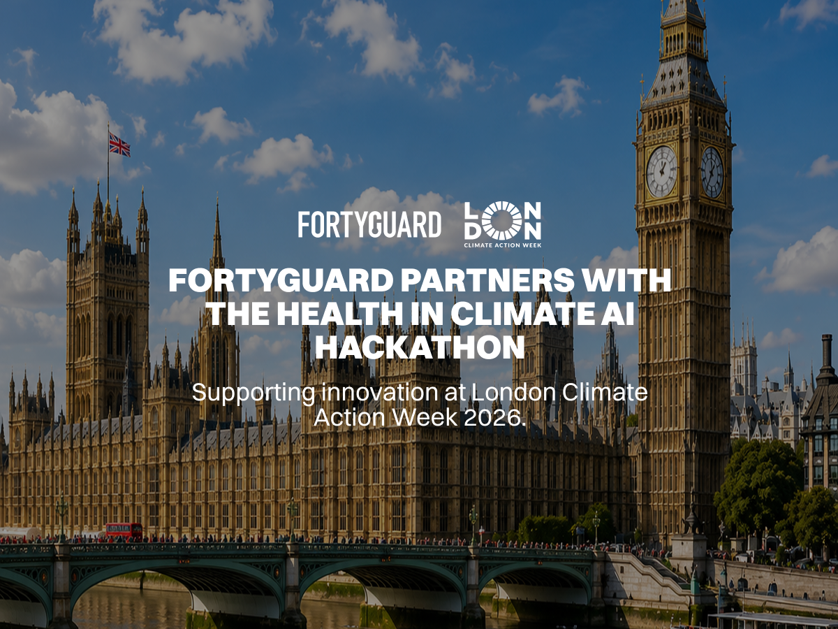
FortyGuard Brings Temperature Intelligence to London's Health in Climate AI Hackathon
FortyGuard joined London's Health in Climate AI Hackathon, part of London Climate Action Week 2026, as its Temperature Data and API Partner — putting hyperlocal temperature intelligence in the hands of climate-health innovators. It's the same foundation now open to developers everywhere through FortyGuard Hackathon'26.
FortyGuard Featured in Huawei's Transform Magazine
FortyGuard has been featured in Huawei's Transform magazine, a global publication reaching business leaders and policymakers worldwide, in an article on AI and the urban heat map. The recognition validates our mission to make temperature as essential to urban planning as energy or mobility data.
.png) ☰
☰


.png)
.png)


.png)
%20(1).png)
.png)
.png)

.png)


.png)
.png)
.png)

.png)
.png)


.png)
.png)

.png)